位置情報を地図へ
概要
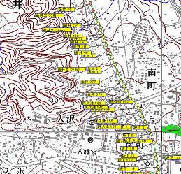
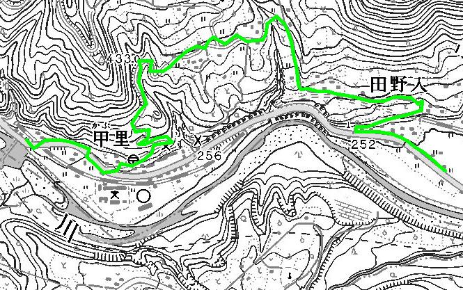
位置情報他を地図上に表示する機能です。
光ケーブルの敷設ルート管理などに応用があります
2007年度版は試用として追加し2008年版より正式機能とします。
使い方
−1.起動
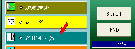
初期メニューより
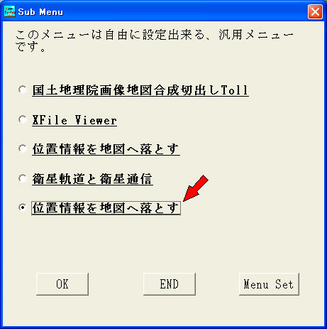
サブメニューより
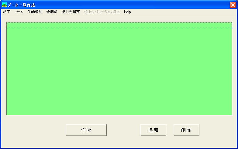
編集画面
−2.データ読み込み

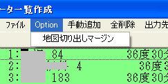
−3.地図作図
地図切り出しマージン設定
オフ゜ション設定
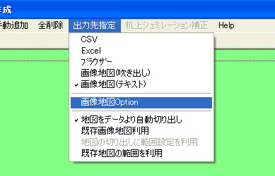
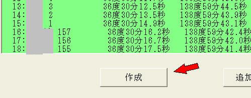
作成
−4.データファイルフォーマット
position list3
,
データ数
名称1,経度,緯度,type,線情報1,線情報2
繰り返し
typeは最大5
例:電力柱=0
NTT柱=1
自営柱=2
他=3
線情報はデータ番号を指定
−5.サンプル
提供ソフトのQ&A
(有)RVMX